Mt. Sto. Tomas is the first mountain that I hiked when I was still a plebe in the PMA way back in the year 2000, thus I consider as my mother mountain.
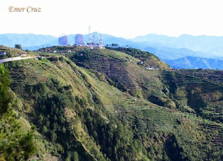
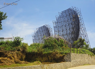
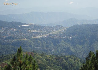
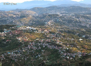
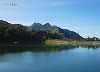
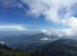
It is the highest peak in Baguio City with an altitude of 6750 ft. above sea level. The summit gives a scenic and picturesque view of Benguet, including the surrounding province of La Union, Mt Ugo and Lingayen Gulf with its mouth opening to the South China Sea. Mt Cabuyao (w/ radar) and Mt. Sto. Tomas (w/ antenna).
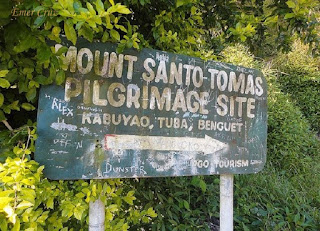
The trail to Mt. Sto. Tomas passes Mt. Kabuyao (6075 ft above sea level) which is the first peak from the jump-off, most hikers do a twin day hike. The place is also the location of Sitio La Presa (where Forevermore was shot) and the man-made lake which serves as the water reservoir for Baguio City. The trail to the summit is around 4 km. and approximately 1-1.5 hours in which it only becomes steep in the final 20 mins of ascent. Overall, the whole trail is an easy hike, the cool breeze, and scenic view makes it a rewarding destination when you are in the Summer Capital of the Philippines.
Throwback picture:
 |
| PMA Class 04's foot march from PMA to Mt. Sto. Tomas |
How to Get There:
1. From Baguio City, take a jeepney ride or taxi to Green Valley
2. There is no registration required.
3. Guides are not also required, just ask the locals for direction.
4. Due to court order - private vehicles and taxis are no longer allowed to go Mt. Sto. Tomas
4. Due to court order - private vehicles and taxis are no longer allowed to go Mt. Sto. Tomas
Mistah pinatay mo ba yung electric fan? Masyado na malamig...������
ReplyDeleteC-04334
Bok, pag summer lang nkabukas ang mga electric fan pag dec to feb pinapatay nila hahaha.
DeleteSnappy k tlaga bok Mokichi hahaha.
Delete