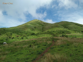
Named after the "Talamitan" trees that used to grow in it's mountain slopes. Mt. Talamitan is believed to be a dormant volcano and is usually hike together with the neighboring Mt.Apayang for a twin hike. The first part of the trail passes through a woodland which then passes an open field for grazing cows and goats. Then the last part of the trail is consists of lush grassy fields composed of cogon trails consisting of at least 300 ft. assault to reach the summit.
It has an altitude of 2040 feet above sea level with almost 1400 ft. altitude gain from the jump off to the summit. Considered to be an easy hike which is perfect for beginners but then again, hikers are still encouraged to be cautious as some parts of the trail are steep (almost 60 degrees) and becomes slippery during rainy season. Thus, precaution must be observed at all times.
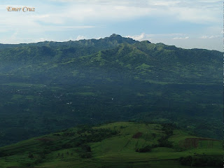
Since there are no trees present along the mountain trail, one will have to deal with the scorching heat of the sun. It also lacks the cool breeze and strong gushed of wind compared to Mt Batulao, thus it is quite exhausting most especially during the summer season. Nonetheless, the view from the summit is 360 degrees panoramic view of Batangas and Cavite, making it one of the best scenic view near the Metro.
How to Get There:
1. Ride a bus bound for Nasugbu, Batangas.
2. Alight in Km. 83 (Brgy. Aga) which is the jump off/registration area.
3. Secure a guide.
***I've visited Mt. Talamitan twice, the first one was a solo hike and my second hike were I joined an event organized by Mark Anthony Odang of Manlalakbay Mountaineers.
Guide: Haries Yu 09360245124
Guide: Haries Yu 09360245124


No comments:
Post a Comment