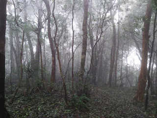
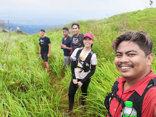
Exactly three years ago with same weather condition when we tried to do a PanTarak hike. "PanTarak" is located in Mariveles, Bataan which means traversing the prominent peaks of Mt Mariveles that includes the highest peak which is Pantingan that stands at 4300ft. The trail would also traverse other prominent peaks around Mt Mariveles caldera that includes: Garruchas, Vintana, El Saco and then Tarak ridge.
Torrential rains and typhoon has greeted us before and during the hike. We asked the organizer if we will proceed with the hike (It's not in my vocabulary to back out on any event unless the group cancel it). We proceeded with the hike and we were advised by the guides that doing a PanTarak is not possible during that time due to some landslide that occured between the Pantingan and Garruchas peak. So after some considerations like typhoon and landslide, we all agreed for a Pantingan Peak backtrail.
The start of the trail passes through a forest which then leads to a grassy slope that is sometimes refer to as Marlboro land. The grassy slope then leads to the base of Pantingan. The trail leading to Pantingan's peak is somehow comparable to the trail of Pat-Yay to Amuyao's summit which is composed of mossy forest and very steep assault.
The trail is muddy with loose soil caused by the non-stop rain brought about by Typhoon Maria, not to mention it is also steep and based from my Casio Altimeter there is a total of 4200ft elevation gain from the jump off to Pantingan Peak with a total of 23km (backtrail). It is also one of the most infested with Limatiks which are more aggressive compared to the Limatiks found in Napulauan and Kalawitan.
Overall the hike is still great, eventhough it was raining with some gush of wind and torrential trails we still enjoyed the hike and still thankful that each one of us were safe to descend back to the jump off with some souvenirs from Limatik bites.


No comments:
Post a Comment