Rising above to an altitude of 3360 feet over the plains of Central Luzon, Mt. Arayat is the most notable landmark of Pampanga. It is an extinct volcano with no recorded eruption and has become a favorite day hike near Manila with trails and difficult level which is comparable to MakTrav except that there are no Limatiks yet with a whole bunch of Mosquitoes instead. The traverse stretches a total of 14 km. with the entry trail at Magalang DENR station and ends in Arayat DENR station.
According to a local legend "Maria Sinukuan" is the fairy guardian who protects Mt. Ararat and is also inhibited by other mystical creatures, but in spite of the mystical stories surrounding the mountain, hikers are not deterred from exploring the beautiful yet very challenging mountain.
I hiked with the Adventurous People then I would later found my climbing buddies with the same pacing as I do (Mildred, John, Jam and Anje) and we called ourselves as Team Una. We then started the traverse via Magalang DENR station, at the beginning of the trail we passed by large grottos which are part of "Stations of the Cross", our local guide told us that Catholic devout visits the place during Holy Week. The trail is forested with an established path that leads to the summit with a 2620ft elevation gain to the reach the Noth Peak where a telecom tower is located, which also serves as a police outpost. The peak is a plateau surrounded by grass slopes and can accommodate 10 to 12 tents which is actually the highest point in Mt. Arayat.
The traverse becomes interestingly challenging upon the descend from the North peak towards the South peak. It is composed of a 620ft descend which includes rope segments, steep slopes which requires technical climbing and all sorts of maneuvering through vertical clay and rock walls. The trail is densely forested composed of Balite trees, Rattan and thorny bushes in a ridgeline that circles the broken Caldera of Mt. Arayat. Then after passing a ridge with a mossy forest one has to ascend 480ft through vertical walls that requires technical climbing where one will reach a huge boulder perched between two peaks known as "Haring Bato". Another thirty minutes of trek leads to the South Peak's viewing deck where it offers a rewarding view of Pampanga, Nueva Ecija, and nearby Central Luzon provinces.
 |
| Dredd, John, Emer, Jam and Anje (photo credits) |
 |
| Bev, Dred, Patrick, Anje & Jam |
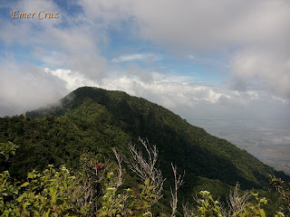
North Peak
(North Peak as seen from South Peak's Viewing Deck)
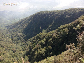
Traverse Trail
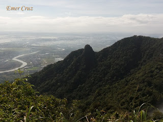
South Peak
(South Peak as viewed from the North Peak)
How to Get There:
1. You can ride buses bound to Arayat from Monumento.
2. Another option is to ride a bus bound to San Fernando Pampanga.
3. Once in San Fernando you ride jeepneys bound to Magalang, then ride a hail a trike that will take you to DENR Registration (Jump off if you are interested to do a traverse)


This is an epic day hike.
ReplyDelete