A great hiking destination within the proximity of Manila that is located in Sto. Tomas, Batangas. Mt. Manabu's name is an amalgam of the Tagalog word "Mataas na Bundok" which literally means "High Mountain". The trail is easy making it an ideal hiking destination for those that are being introduced to hiking.
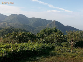
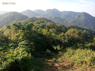
The first part of the trail is comprised of a gradual ascent through a forested area until reaching "Tatay Tino's" hut (he offers free cup of Alamid Coffee to hikers). From there on the trail passes a series of grassland composed of "Lipa" and Cogon grass, thus it is advisable to wear something to protect your arms from papercut. The summit is characterized by a white cross that is erected at the highest point which has an altitude of 2493 ft. above sea level, thus there is a total of 1000 ft. altitude gain from the jump-off point.
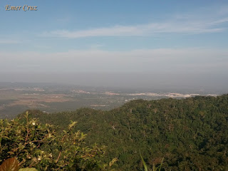
Upon reaching the summit one will be rewarded with a picturesque view of Mt. Makiling, Mt. Maculot and the provinces Batangas and Laguna. The whole ascent can be done in 2 hours (we finished it in just 90 minutes).
How to Get There:
1. Ride a bus bound for SM Lipa.
2. Alight in SM Lipa and look for the tricycle station.
3. Tell the tricycle driver that you’re going to Mt. Manabu. They’ll take you to the Barangay Hall where you have to pay the environmental fee. Then they will drop you off at Sulok in Sta. Cruz, Sto. Tomas, Batangas.
***I joined an event organized by Diwata Tours**
***I joined an event organized by Diwata Tours**


No comments:
Post a Comment