Monday, April 17, 2017

Mt. Pinatubo (Crater Lake)

Regarded as one of the most popular tourist destinations in the country, Mt. Pinatubo is located between the provinces of Pampanga, Zambales and Tarlac. 

When Mt. Pinatubo erupted in 1991, it became the second largest eruption in the 20th century that causes billions of damages to properties, crops and deaths to countless lives. The infamous eruption was felt worldwide spewing tons of sulfur dioxide and volcanic ash (also known as "Lahar") in the air and global temperatures dropped by 0.5 °C in the years 1991-1993.

There are two known ways of going to Mt. Pinatubo's crater; the longer trail known as the "Sapang Uwak" and the shorter one via the "Skyway"- it was named as such because it enabled 4-wheel vehicles to a shorter route to the drop off point to trek the crater.

We chose the latter and rode a 4×4 vehicle that passed by desert like Lahar fields and rocks. After an hour of a bumpy ride, we started a gradual uphill trek from the jump-off point that requires one to two hours of trekking through rocks and boulders. The final leg leads to a cemented stairway that leads to the viewing deck of the summit.

The gem of Mt. Pinatubo is the crater lake which is described as "a wide jewel of blue and green" and the color of the water also changes from blue-green to deep blue depending on the season. According to the tourism officer, the crater was only formed after its climactic eruption in 1991 and is considered as the deepest lake in the country with a surface area of 1.8 km. and a depth of 2000 ft., thus swimming is prohibited. 

Pinoy Solo Hiker - Mt. Pinatubo

Pinoy Solo Hiker - Mt. Pinatubo

Pinoy Solo Hiker - Mt. Pinatubo

Pinoy Solo Hiker - Mt. Pinatubo

Pinoy Solo Hiker - Mt. Pinatubo

Pinoy Solo Hiker - Mt. Pinatubo

Pinoy Solo Hiker - Mt. Pinatubo

Pinoy Solo Hiker - Mt. Pinatubo

Via the SkyWay
Pinoy Solo Hiker - Mt. Pinatubo

Pinoy Solo Hiker - Mt. Pinatubo

Pinoy Solo Hiker - Mt. Pinatubo

Pinoy Solo Hiker - Mt. Pinatubo

Pinoy Solo Hiker - Mt. Pinatubo

Pinoy Solo Hiker - Mt. Pinatubo

How to Get There:
** There are several groups that offers Mt. Pinatubo 4x4 tour
(I joined an event organized by Adventurous People)

Friday, April 14, 2017

Mt. Mabilog

Situated beside the twin lakes Yambo and Pandin, Mt. Mabilog is nestled among the small patches of mountain ranges in Laguna consisting of Prinza, Imok and Obabis. Thus, it has become a hiking favorite for both seasoned and newbie mountaineers due to it's close proximity from Manila.

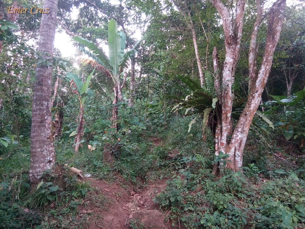
The most preferred trail starts from Lake Pandin which passes through a series of coconut trees, banana fields, fruit trees and even Lake Yambo. The trail has a total distance of 3 km. with a gradual ascent and only becomes steep in the last 700 meters. It has a total elevation gain of almost 900 ft. from the jump-off point and has a total elevation of 1447 ft. above sea level (My wife and I were able to complete the whole trail in just an hour).

Upon arriving at the summit, one will be rewarded with a spectacular view of San Pablo's 7 lakes together with the picturesque view of  Mt. Makiling, Banahaw, Cristobal, Malarayat Range and Maculot which can also be seen from a distant horizon. 

The summit is a like a big rounded plateau, perhaps that's how it got it's name "Mabilog" which means rounded. A strong breeze and cool gush of wind is present in the summit, making it an ideal place to relax and unwind. It is well maintained; the grass were properly trimmed and the place is clean, ideal for camping that can accommodate 20 to 30 tents. 

Pinoy Solo Hiker - Mt. Mabilog

Pinoy Solo Hiker - Mt. Mabilog

Pinoy Solo Hiker - Mt. Mabilog

Pinoy Solo Hiker - Mt. Mabilog

Pinoy Solo Hiker - Mt. Mabilog

Pinoy Solo Hiker - Mt. Mabilog

Pinoy Solo Hiker - Mt. Mabilog

Pinoy Solo Hiker - Mt. Mabilog

How to Get There:

1.) Take a bus bound to Lucena (DLTB or Jac Liner), they have terminals in Cubao and LRT Buendia
2.) Tell the conductor to drop you off in San Pablo City (since, bus were not allowed inside the city you will be drop off at Mahalarlika hiway in San Pablo, you can either ride a trike or take a San Pablo bound jeepneys.
3.) Once in San Pablo, ride a jeep bound for Liliw/Nagcarlan tell the driver to drop you off in Lake Pandin (there's a big signage, and you will be required to walk 300 meters to reach the lake).
4.) The registration and guide for Mt. Mabilog is in Lake Pandin

Thursday, April 13, 2017

Buffalo's Wings N' Things

Buffalo wing is basically a chicken wing section that is generally deep-fried, unbreaded, and coated in vinegar-based cayenne pepper, hot sauce and butter. It is traditionally served hot, along with celery sticks and/or carrot sticks with blue cheese for dipping which originated in Buffalo, New York.

Chicken has always been a favorite choice among Filipinos, and since it was already Lent season my office mates and I decided to try the newly opened Buffalo Wings N' Things in Pioneer, Mandaluyong. The place has a great ambiance, well lit and not too crowded, though the place is a little bit small.

I ordered Southern Chicken which is a meal combo composed a rice mixed with beans, the chicken is tender and it was boneless and it tastes great. The sauce is grand, it also comes with a seasoned corn and coleslaw as a side dish. I also had Chicken Wings which I think is a little bit expensive but the taste greatly compensate for it's price and you can also choose your preferred sauce.

They have several variance of spices and flavors to choose from based on their "hotness meter". I prefer the Garlic Parmesan or the New York’s Finest flavor which is not too spicy. Then there those that are much spicier: "The Rookie" and the extreme level which is the "Nuclear" and "Armageddon" at the top of the list.

Pinoy Solo Hiker - Buffalo's Wings N' Things

Pinoy Solo Hiker - Buffalo's Wings N' Things

Pinoy Solo Hiker - Buffalo's Wings N' Things

Pinoy Solo Hiker - Buffalo's Wings N' Things

Pinoy Solo Hiker - Buffalo's Wings N' Things

Rating:
7 out 10

Monday, April 10, 2017

Mt. Malipunyo (Malarayat)

The Malipunyo Mountain Range is an extinct volacano which lies between the provinces of Laguna, Quezon and Batangas. It is popularly known as Malarayat Range, but the locals prefer to call it as Mt. Malipunyo which means "to gone astray/ gone off course" in native language due to it's confusing trails. The name "Malarayat" only came about during the 90's because mountaineers were accustomed to the famous country club located near the foot of Malipunyo.

We had our dayhike traverse which started at Mt. Manabu and ends in Malipunyo's Nampucha trail, passing several peaks along the trail that includes: Mt. Maraduhan, Biak na Bundok, Balite Peak and the three peaks of Malipunyo. The trail was a pure assault of rolling terrains that passes through a forested woodlands, grassland and trails teeming with other noxious plants that includes: "Lipa" and "Teka-Teka" plant (a thorny plant that can easily pierce through clothing and skin), thus, it was named "Teka-Teka"- precaution must be observed to avoid getting pierced/cut.

Malipunyo has 3 peaks, with Peak 3 as the highest which stands at 3278 ft. above sea level, followed by Peak 2 (3128 ft). and Peak 1 (3020 ft.). Peak 3's summit is composed of plants, even a mossy forest and offers a picturesque view Malarayat range and the provinces of Laguna and Batangas. It can accommodate up to a 50 people. Peak 2's summit is much smaller and can only accommodate a handful of 5 to 10 people. On the otherhand, Peak 1's summit is covered with tall trees and shrubs, thus a picturesque view is not possible.

"Nampucha trail" commenced the descent to the traverse trail which is very steep that passes through moist rocks, slippery roots from overgrown trees and the ever present noxious plants that makes the descent more challenging. Several dried up river and a waterfalls can be seen along the way to the exit point. 

We were able to complete the reverse-traverse trail (Manabu to Malipunyo) in 7 hours and 52 mins. making it one of the fastest traverses for a group composed of more than 10 members. It has a total distance of  21.5 km. based on my GPS mapping.

Peak 2

Pinoy Solo Hiker - Mt. Malipunyo

Pinoy Solo Hiker - Mt. Malipunyo

Pinoy Solo Hiker - Mt. Malipunyo

Peak 3
Pinoy Solo Hiker - Mt. Malipunyo


Pinoy Solo Hiker - Mt. Malipunyo


Malipunyo Range
As seen from Los Banos, Laguna

Pinoy Solo Hiker - Mt. Malipunyo

Pinoy Solo Hiker - Mt. Malipunyo

Pinoy Solo Hiker - Mt. Malipunyo
Teka-Teka

Pinoy Solo Hiker - Mt. Malipunyo
Old Balite Tree

Team MX3, the blogger was second to finish the traverse.


How to Get There:
1. Ride a bus bound for SM Lipa.
2. Alight in SM Lipa and look for the tricycle station.
3. Tell the tricycle driver that you’re going to Mt. Manabu. They’ll take you to the Barangay Hall where you have to pay the environmental fee. Then they will drop you off at Sulok in Sta. Cruz, Sto. Tomas, Batangas.

***I joined an event organized by Diwata Tours**

Thursday, April 6, 2017

Biak na Bundok

One remarkable viewing area in the Malipunyo traverse trail is the "Biak na Bundok" which literally means as "cracked or sliced mountain" in Tagalog language. It lies along the Malipunyo (Malarayat) mountain ranges between the provinces of Laguna, Batangas and Quezon.

According to our local guide, it was a discontinued highway project during the time of President Marcos that was supposed to connect San Pablo City and Lipa City which passes through the middle part of the mountain range. When the EDSA People Power broke out, the Marcoses were ousted and the whole project was scrapped. Since then, tall grasses have grown on it's slopes, leaving behind a partially eroded mountain.

Pinoy Solo Hiker - Biak na Bundok

Pinoy Solo Hiker - Biak na Bundok

Pinoy Solo Hiker - Biak na Bundok

Pinoy Solo Hiker - Biak na Bundok

Pinoy Solo Hiker - Biak na Bundok

Pinoy Solo Hiker - Biak na Bundok


How to Get There:
1. Ride a bus bound for SM Lipa.
2. Alight in SM Lipa and look for the tricycle station.
3. Tell the tricycle driver that you’re going to Mt. Manabu. They’ll take you to the Barangay Hall where you have to pay the environmental fee. Then they will drop you off at Sulok in Sta. Cruz, Sto. Tomas, Batangas.

Sunday, April 2, 2017

Mt. Manabu (Mataas na Bundok)

A great hiking destination within the proximity of Manila that is located in Sto. Tomas, Batangas. Mt. Manabu's name is an amalgam of the Tagalog word "Mataas na Bundok" which literally means "High Mountain". The trail is easy making it an ideal hiking destination for those that are being introduced to hiking. 

The first part of the trail is comprised of a gradual ascent through a forested area until reaching "Tatay Tino's" hut (he offers free cup of Alamid Coffee to hikers). From there on the trail passes a series of grassland composed of "Lipa" and Cogon grass, thus it is advisable to wear something to protect your arms from papercut. The summit is characterized by a white cross that is erected at the highest point which has an altitude of 2493 ft. above sea level, thus there is a total of 1000 ft. altitude gain from the jump-off point. 

Upon reaching the summit one will be rewarded with a picturesque view of Mt. Makiling, Mt. Maculot and the provinces Batangas and Laguna. The whole ascent can be done in 2 hours (we finished it in just 90 minutes).

Pinoy Solo Hiker - Mt. Manabu

Pinoy Solo Hiker - Mt. Manabu

Pinoy Solo Hiker - Mt. Manabu

Pinoy Solo Hiker - Mt. Manabu

Pinoy Solo Hiker - Mt. Manabu

Pinoy Solo Hiker - Mt. Manabu

Pinoy Solo Hiker - Mt. Manabu

How to Get There:
1. Ride a bus bound for SM Lipa.
2. Alight in SM Lipa and look for the tricycle station.
3. Tell the tricycle driver that you’re going to Mt. Manabu. They’ll take you to the Barangay Hall where you have to pay the environmental fee. Then they will drop you off at Sulok in Sta. Cruz, Sto. Tomas, Batangas.

***I joined an event organized by Diwata Tours**